APPLIED PRECISION. PROVEN RESULTS.
Aero Precision Drone Operations delivers professional aerial solutions for agriculture, construction, inspections, and land management using advanced drone technology. As a veteran-operated company, we provide precision spraying, thermal imaging, mapping, and aerial data services throughout Oklahoma. Our specialized division, Heat Seeker Game Recovery, uses thermal drones to ethically recover wounded game quickly and efficiently.
Meet our Team.
Lyle Love Sr. is a seasoned oil and gas professional with six decades of industry experience. He holds a B.S. in Electronic Engineering from DeVry University, and his career spans engineering, sales, management and ownership roles with companies including Schlumberger Well Services, American Casedhole Specialists, Diesel Works Plus, Casedhole Solutions, and TorcSill Foundations. A dedicated member of First Baptist Church, Lyle is also a devoted husband, father of five, and proud grandfather of eleven.
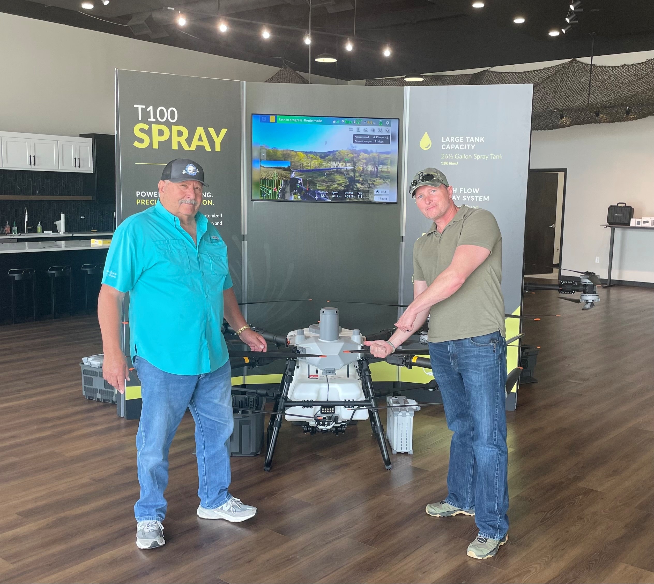
Brandon Barton is a U.S. Army veteran and former Counterintelligence Special Agent with experience in both tactical and strategic operations. He leads the Veritas Agency, a legal support services agency specializing in using drones for investigations, missing persons, asset recovery, and protective services. As Head of Operations for AeroPrecision, he is an experienced agricultural drone pilot and certified pesticide applicator in the state of Oklahoma, with endorsements for Agricultural, Aerial, Right of Way, and Aquatic applications. Brandon is a dedicated member of First Baptist Church, an international volunteer in Ukraine, and a devoted husband and proud father of four.
Precision Aerial Services
From crop protection to thermal imaging, we deliver data-driven results from above.
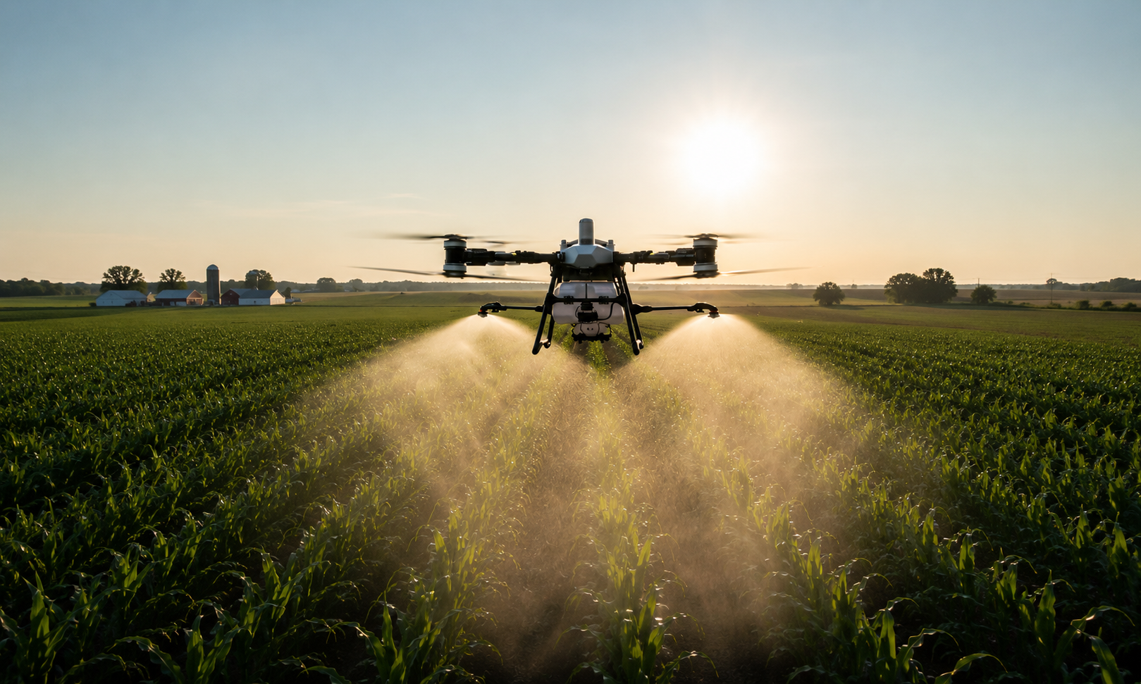
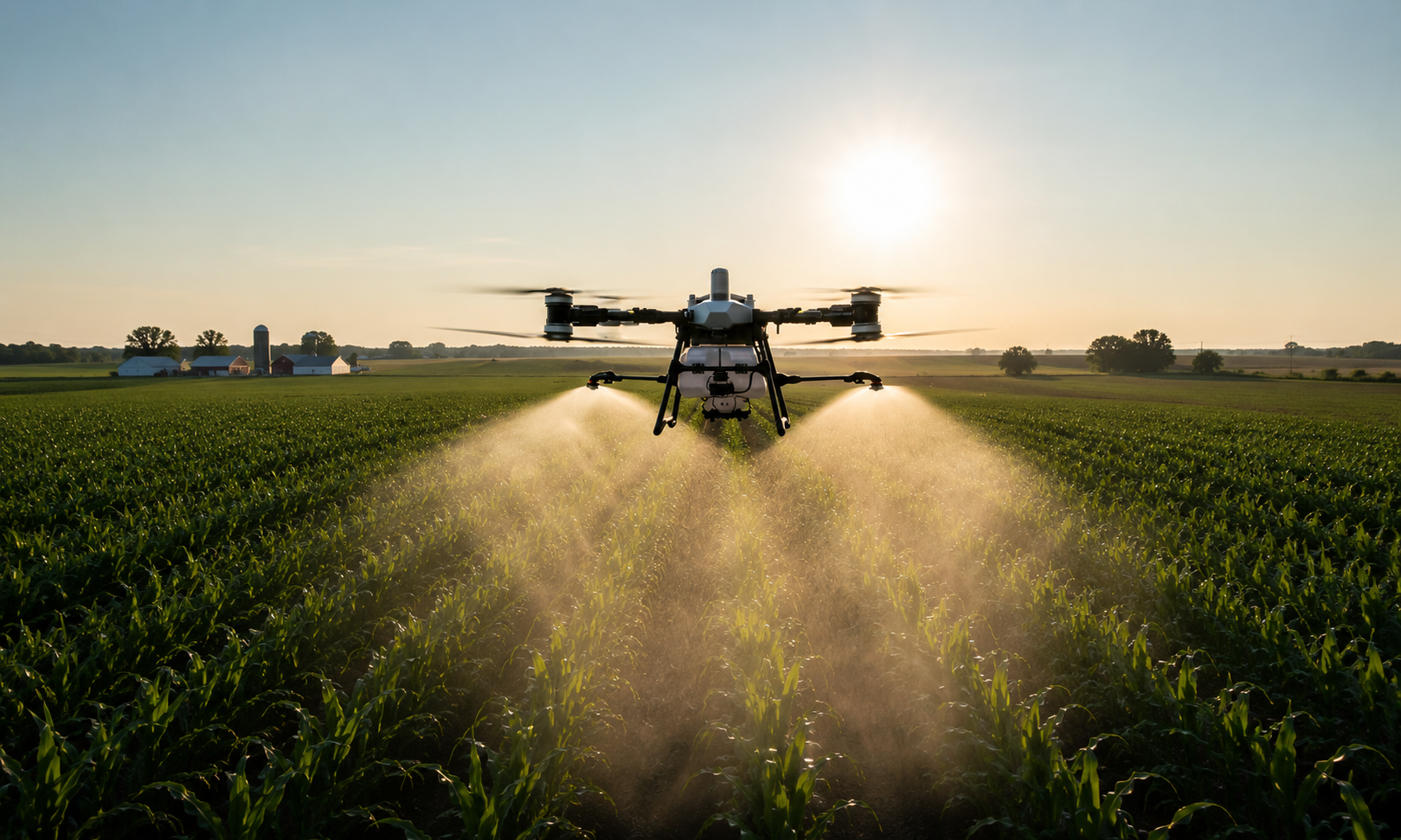
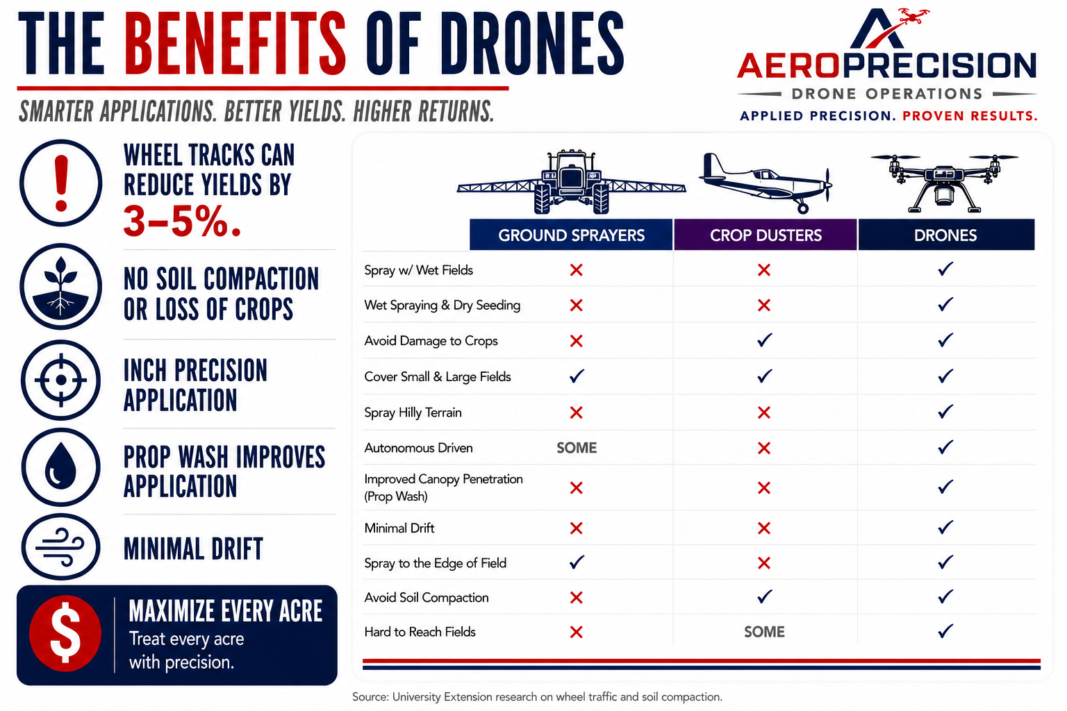
Agricultural Spray Application
Precision application of pesticides, herbicides, fungicides, and fertilizers — maximizing coverage, minimizing waste.

Mapping & Surveying
High-resolution aerial mapping and topographic surveys for agriculture, construction, and land management.

Thermal Inspections
Infrared thermal imaging for roofs, solar panels, and utility infrastructure — find problems before they find you.

Construction Monitoring
Track project progress with regular aerial documentation and site analysis.

Commercial & Residential Inspections
Safe, efficient aerial inspections for insurance, real estate, and property assessment.
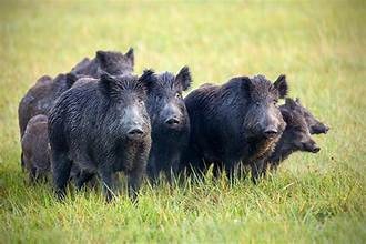
Wildlife Management
Aerial wildlife surveys, population monitoring, and habitat assessment for landowners and agencies.
Built for the Industries That Build Oklahoma
THE DRONE DIFFERENCE.
When precision matters — when your crops, your property, or your operation is on the line — you need a drone operator who takes it as seriously as you do.

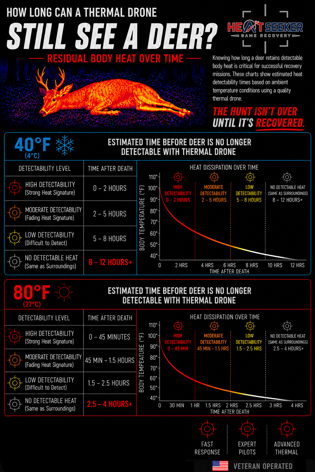
The Hunt Isn't Over Until It's Recovered.
Advanced thermal drone technology deployed to locate wounded deer and recover your harvest — fast, accurate, and available across Oklahoma.
A wounded deer doesn't have to be a lost deer. Our Heat Seeker Game Recovery service uses state-of-the-art thermal imaging drones to detect the heat signature of downed or wounded animals — even in dense brush, at night, or in difficult terrain. We cover ground fast, so you recover your animal before conditions change.
- Thermal imaging detects heat signatures in total darkness
- Covers hundreds of acres in minutes
- Available evenings and early mornings during hunting season
- Rapid response across Oklahoma
We're ready to fly for you.
Request a quote or call us directly. We respond fast — because your operation can't wait.
Request a QuoteCall Now
Fill out the form below and we'll get back to you within 24 hours.