Our Services
What We Do
Six specialized drone service lines — each delivered with FAA-certified operators, precision GPS equipment, and the discipline of a veteran-operated company.
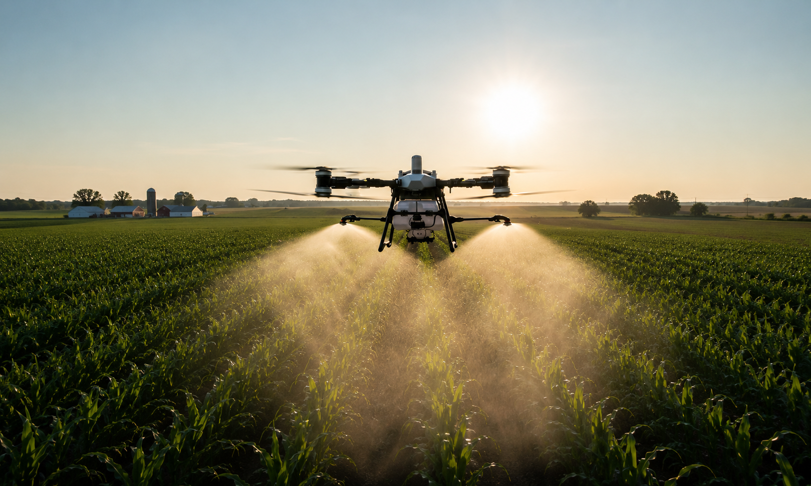
Agricultural Spray Application
Cover more acres. Use less chemical. Protect your crop.
Our precision GPS-guided drones apply herbicides, pesticides, fungicides, and fertilizers with centimeter accuracy. We cover 40–60 acres per hour with up to 30% less chemical usage than ground equipment — no compaction, no wheel damage, no crop loss from equipment passes.
- Herbicide & pesticide application
- Fungicide & fertilizer application
- GPS-logged coverage maps
- Works in wet or inaccessible fields
- FAA & pesticide certified operators
Mapping & Surveying
Centimeter-accurate data. Delivered fast.
We generate high-resolution orthomosaic maps, 3D terrain models, and volumetric measurements for agriculture, construction, and land management. Our data integrates directly with GIS platforms and farm management software.
- Orthomosaic mapping
- 3D terrain & elevation models
- Volumetric calculations
- NDVI crop health imaging
- GIS-compatible deliverables

Thermal Inspections
See what the eye can't. Find problems before they cost you.
Thermal imaging reveals heat anomalies invisible to standard cameras — electrical faults, roof leaks, pipeline issues, livestock health, and more. We deliver detailed thermal reports with annotated findings.
- Electrical & solar panel inspections
- Roof moisture & leak detection
- Pipeline & infrastructure surveys
- Livestock & crop stress detection
- Detailed annotated reports

Construction Monitoring
Track progress. Catch problems early. Stay on schedule.
Regular aerial documentation of construction sites gives project managers accurate progress data, volume measurements, and visual records. We provide scheduled flyovers with timestamped deliverables for every phase of your project.
- Progress documentation flyovers
- Earthwork volume calculations
- Site safety & compliance monitoring
- Stockpile measurements
- Time-lapse project records

Commercial & Residential Inspections
Safer. Faster. More thorough than a ladder.
Drone inspections eliminate the need for scaffolding, ladders, and lift equipment on roofs, towers, and hard-to-reach structures. We deliver high-resolution imagery and video with detailed condition reports.
- Roof condition assessments
- Chimney & gutter inspections
- Tower & antenna surveys
- Insurance documentation
- Pre/post-storm damage reports

Wildlife Management
Locate. Count. Manage. From the air.
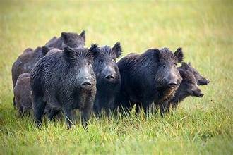
Thermal and optical drone surveys give landowners, ranchers, and wildlife managers accurate population data and location intelligence for feral hogs, deer, predators, and livestock. We also support targeted removal operations.
- Feral hog population surveys
- Deer & livestock counts
- Predator location & tracking
- Targeted removal support
- Thermal night operations
Ready to put precision to work?
Request a free quote on any of our services.